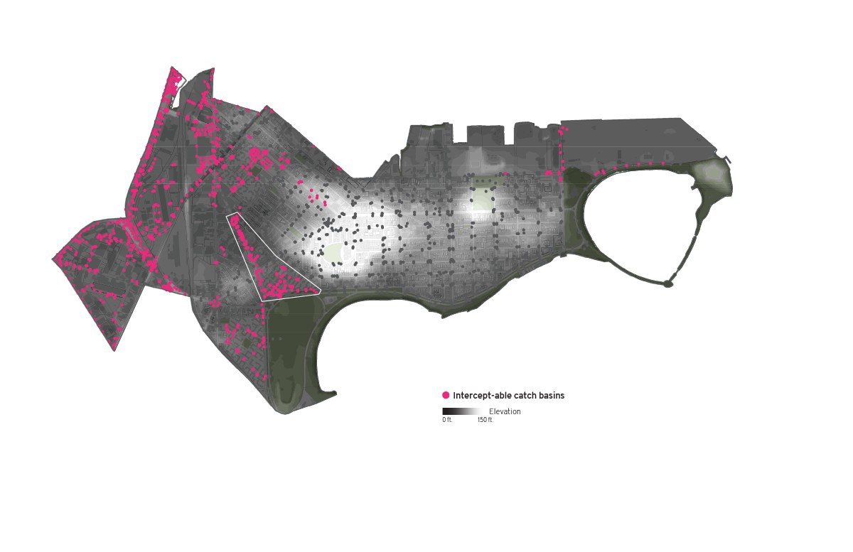
After conducting an extensive analysis of South Boston’s environmental resiliency in GIS, this project aimed to fix one of the most underperforming categories: climate and energy. The map above shows the location of the neighborhood’s catch basins related to its topography, and highlights the ones that are near properties that should implement green stormwater infrastructure to intercept the water before it goes into the sewer system.

This map shows a quarter-mile radius buffer around all of the neighborhood’s public open spaces (parks) as well as the location of the areas with the greatest need for park access, as defined by the city of Boston. Almost all of these areas are within a quarter-mile distance of a park.